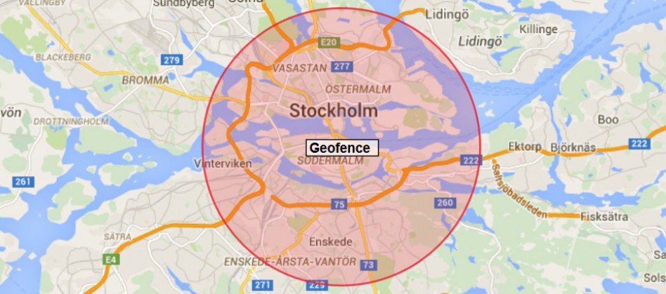
The Geofence and POI function can help you create safety zones and assign them to objects. By automated driver alerts or GPS reporting dashboard, you know precisely when your cars enter and exit the zones. Moreover, view where there is vehicle overlap which in turn allows you to adjust your fleet to be more efficient.
The Geofence Areas Available:
Pinpoint General
Pinpoint Customer
Circle
Polyline
Polygon
Rectangle
Improve the Efficiency of Fleet Management
Yiwen tracking software allows you to set up custom geofence areas. Basically, you can see when drivers arrive or leave designated areas. You can track vehicles in transit, see last-known locations, and view breadcrumb trails for a visual history of your driver’s exact route.
Monitoring the Transportation Process
For the express companies, there are more than one warehouse or reloading point. ONERTRACK fleet tracking allows you to set up GEO-FENCE or POI as reloading point. Setting up one alarm for each place, you can know if the shipment is being processed on the preset route.
Keep the Cars Safety
This can be the small geofence for the cars, for example, the area with radius from 30 meter to 200 meter, it is the area for the fleet company. In case somebody is stealing the car, car leaving alarm will be activated.
Speed Limitation for Different Areas
Due to frequent high speed assidents, some governments required speed limitation for some areas. If over speed happens, that will be high penalty. Yiwen GPS fleet tracking system allows you to set speed limit in different geofences. For some routes with speed limit in particular period, you also are able to set active time for these fence.
If you want to know more details or place the order directly,
clike HERE to visit our Alibaba!